The common mistake is treating daylight like usable walking time. It is not. A 10-mile route that looks easy on a summer map can leave you crossing wet moorland, frozen ground or a dark woodland track when the light disappears. Early spring hiking day walks need a timetable, not optimism.
Start with a walk that has a firm turnaround point, add a proper buffer before sunset, and choose ground that will still be manageable after rain. That is how you get a satisfying day outside without turning the final mile into a navigation problem.
Why early spring walks run late
Daylight is not the same as walking light
Sunset is the moment the sun drops below the horizon. It is not the moment a path becomes dark. In a valley, dense forest or on the shaded side of a hill, usable light can fade 20 to 40 minutes earlier. Low cloud makes the change faster. A path that is obvious at noon may blend into wet grass at 17:30.
Early spring adds more delays. Mud grips boots, swollen streams force detours, and frost can make a short descent slower than expected. If a route guide says five hours, treat that as a moving-time estimate unless it clearly includes breaks, navigation checks and poor ground. Most walkers stop for food, photos and clothing changes. Those minutes accumulate.
The safe finish is earlier than the map suggests
For a walk in exposed or unfamiliar country, plan to reach the trailhead at least 45 minutes before sunset. Add another 30 minutes if the route includes a ridge, bog, steep descent or a section without a clear path. This buffer is not wasted time. It covers the slow parts that a route description tends to hide.
A useful rule is simple: calculate the latest time you can leave the highest or most remote point, then work backwards. If the route has a 16:00 turnaround and you need 90 minutes to return, the walk must reach that point by 16:00 even if the summit is only another 20 minutes away. The summit is optional. A safe return is not.
Choose the route by turnaround time, not mileage
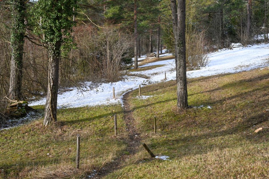
Distance is a poor early-spring safety measure. Elevation, surface and escape options matter more. A six-mile paved-and-gravel loop can be easier than a four-mile route across peat and slippery stone. Choose the route by the time needed to return from its furthest point.
A practical daylight timetable
| Walk stage | Example time | What must be true |
|---|---|---|
| Leave trailhead | 10:00 | Forecast checked, layers on, navigation loaded |
| Reach first viewpoint | 11:15 | Path is clear and pace matches the plan |
| Lunch stop | 12:30 | Keep the break to 30 minutes |
| Reach furthest point | 14:15 | Turn around if more than 15 minutes late |
| Start final descent | 15:00 | At least 60 minutes of light remain |
| Return to car or village | 16:30 | Comfortably before an 17:30 sunset |
This example assumes a route with a sunset around 17:30. Check the exact time for the date and location. A 2026 walk near the coast, in a northern valley and on an open southern slope will not share the same usable light.
Build an honest route card
Write down four numbers before leaving: total walking time, longest climb, turnaround time and planned arrival time. Then add a second return option. It might be a shorter descent, a bridge back to the road or an escape to a nearby village. If the map has no escape route, shorten the walk.
The best early-spring route is usually a low-level loop with several exit points. A high ridge may offer better views, but it gives you fewer ways to cut the day short when the wind rises or the cloud closes in. For a walk that must finish before dusk, flexibility beats drama.
What to carry when the forecast looks harmless
Carry for the ground you may meet, not the weather you hope to get. Early spring forecasts can be accurate at valley level and wrong on the ridge. Your pack should support a slower return, a minor injury and a navigation mistake. That does not mean carrying expedition equipment. It means covering the few problems that actually happen.
The six-item minimum
- Headlamp: The Black Diamond Spot 400-R produces up to 400 lumens and typically sells for about £55. It is a sensible choice for an unplanned late finish because it has a rechargeable battery and a red-light mode. Keep it in the pack, not buried in a car boot.
- Waterproof layer: A jacket with a stated waterproof rating and a hood matters more than a softshell that feels comfortable in the car park. Pack it even under a blue-sky forecast.
- Food with no cooking: Take enough for one extra hour outside. A sandwich, oat bar and small bag of nuts work better than relying on a café that may close early.
- Navigation backup: Download the route before leaving. Carry a paper map and compass if the walk crosses open ground or has weak phone coverage.
- Warm layer: A compact insulated jacket can turn a cold roadside wait from a problem into an inconvenience.
- Small first-aid kit: Include blister pads, tape, pain relief and an elastic bandage. Foot problems cause more slow returns than heroic weather does.
Where named gear earns its place
For a mixed-weather day walk, the Osprey Talon 22 is the best pack choice here: 22 litres gives room for layers, food and safety gear without encouraging overpacking, and its typical list price is about £140. For wet, rocky paths, the Salomon X Ultra 4 Mid GTX, usually around £150, is the better footwear pick than a lightweight road trainer because its mid-height ankle support and waterproof membrane suit slow spring ground.
Those are examples, not requirements. The clear verdict is this: buy or use the item that solves your weakest point. If you already own a sound waterproof boot and a working headlamp, spending money on a new colour or a larger pack will not make the route safer.
Which mistakes push a walk into darkness?
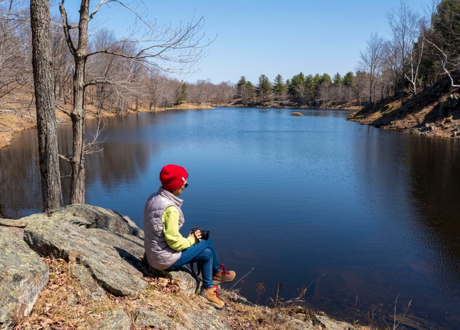
Most late finishes begin with a small decision that seems harmless at the time. Fix the pattern early and the day stays manageable.
What if the group is only 20 minutes behind?
Turn around or cut the route. Twenty minutes late on the outward leg can become 40 minutes late by the return because tired walkers slow down. The group should agree that rule before setting off, while everyone is still enthusiastic.
What if the summit is almost within reach?
Skip it. A summit is a viewpoint, not a deadline. If cloud, wind or ice has already slowed the group, the last section will cost more time than the map suggests. Take the lower route and keep the good part of the day.
What if the phone says the route is nearby?
Do not follow a blue dot blindly. Phone batteries drain faster in cold weather, GPS can jump beside cliffs or steep valleys, and a digital line cannot tell you that a stream has become impassable. Compare the screen with the landscape, map and compass. If they disagree, stop and work out why.
Other common failures are leaving after lunch for a route that needs six hours, forgetting that a car park gate may close, and assuming a familiar summer path will have the same surface in March. Check access notices, river crossings and parking restrictions before you travel. Early spring rewards boring preparation.
Use a hard go-or-no-go rule on the morning
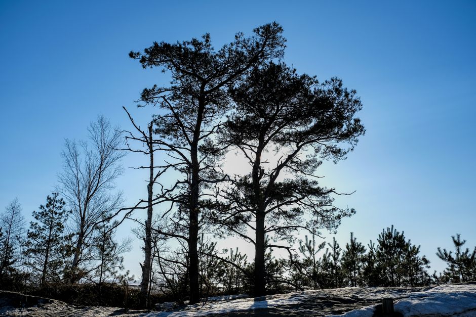
Set the rule before breakfast: if the forecast, ground conditions or group pace removes the planned 45-to-60-minute daylight buffer, the route changes. No debate on the ridge. Shorten the walk, lower the height or move to a route with a clear road exit.
The five-minute departure check
- Check the exact sunset time and aim to finish at least 45 minutes earlier.
- Check rain, wind, freezing level and visibility at the highest point.
- Confirm the route has been downloaded and that every walker knows the turnaround time.
- Count layers, food, water, headlamp and first-aid supplies.
- Tell one person the route, parking location and expected return time.
What success looks like
A successful early-spring walk is not the one that reaches the highest summit. It is the one that gets everyone back with daylight left, dry enough to enjoy the drive home and keen to walk again next weekend. Leave the ambitious route for a longer day with better ground and more daylight.
Early spring hiking will keep getting easier to plan as route apps improve their weather, terrain and daylight warnings. The judgment still belongs to the walker. A screen can suggest the route; only a sensible cutoff keeps the final mile in the light.