

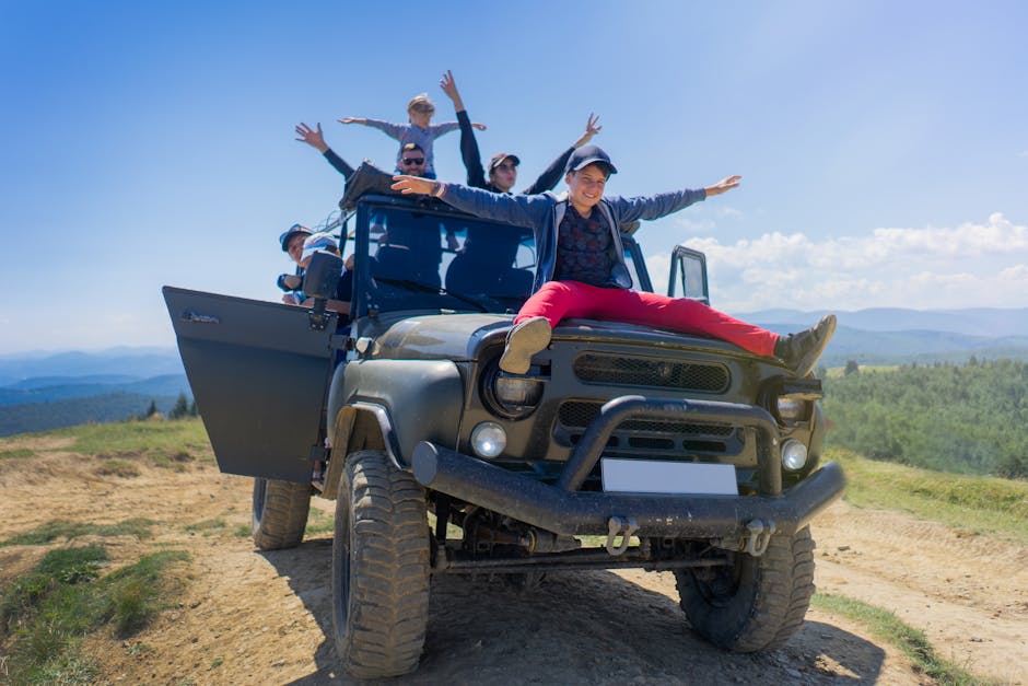
You’ve seen the Instagram shots of Going-to-the-Sun Road. Everyone has. But here’s what those photos don’t show: the two-hour wait to enter Glacier National Park in July, the RV traffic jams on Highway 89, and the fact that most tourists never leave the park boundaries.
Montana is bigger than Germany. You can drive eight hours and still be inside the state. The question isn’t whether Montana has good road trips. It’s whether you can find the ones that don’t feel like a parking lot. This article covers seven routes — from the well-known to the genuinely empty — with exact distances, fuel stops, and the mistakes that ruin each one.
Route 1: The Going-to-the-Sun Road Loop — But With a Critical Detour
Everyone drives Going-to-the-Sun Road from West Glacier to St. Mary. That’s the mistake. The road is 50 miles long, takes about two hours without stops, and in peak season you’ll average 15 mph behind a line of RVs. The better version starts the same way but adds a 60-mile detour north to Polebridge.
Why Polebridge changes the trip
Polebridge sits at the end of a gravel road that’s impassable in wet weather but glorious when dry. The Polebridge Mercantile makes huckleberry bear claws that are worth the dust on your car. More importantly, the North Fork Road gives you access to Bowman Lake and Kintla Lake — two spots in Glacier that see maybe 5% of the park’s visitors. The campgrounds here rarely fill completely, even in August.
The fuel problem most drivers miss
There is no gas station between West Glacier and St. Mary on Going-to-the-Sun Road. That’s 50 miles with no fuel. The Polebridge Mercantile does not sell gas. Your last chance is the Conoco in West Glacier at the park entrance. Fill up there. Drivers who skip this end up coasting downhill into St. Mary on fumes, praying the gas station there hasn’t closed early. It closes at 7 PM in summer.
Total loop distance: 145 miles. Recommended time: 2 days, camping at Bowman Lake or Many Glacier. Best time: Late June through early September. The road typically opens fully by late June, but check the park’s Twitter feed — they post daily updates.
Route 2: The Beartooth Highway — America’s Most Underrated Alpine Drive
The Beartooth Highway (US-212) runs 68 miles from Red Lodge, Montana to the northeast entrance of Yellowstone. It tops out at 10,947 feet at Beartooth Pass. This is not a road for nervous drivers. There are no guardrails on some sections, and the switchbacks are tight enough that you’ll smell your brakes by mile 30.
But here’s why it beats Yellowstone’s internal roads: The Beartooth has maybe 20% of the traffic that the Grand Loop Road in Yellowstone gets. You can pull over at any of the dozen scenic pullouts and have the view to yourself for ten minutes. The wildflowers in July are absurd — fields of lupine and Indian paintbrush that look painted on.
Where drivers get stuck
The Beartooth Highway closes for weather unpredictably. Snow can fall any month of the year at the summit. In June 2026, the road was closed for three days straight due to a late-season storm. The official opening is typically Memorial Day weekend, but that’s optimistic. Call the Red Lodge Chamber of Commerce before you go. Do not trust Google Maps — it will route you through if the road is open, but won’t tell you about the 30-minute delay at the construction zone near the summit.
Fuel stop: Red Lodge has three gas stations. Fill up here. The next gas is in Cooke City, 50 miles later, where a gallon of regular runs $5.80 in summer. Total distance: 68 miles one-way. Time: 3-4 hours with stops. Best time: July through September.
Route 3: The Missouri River Breaks — Zero Traffic, Zero Services
This is the road trip for people who think they’ve seen Montana. The Missouri River Breaks stretch across central Montana, and the road that follows them — the Upper Missouri River Road, also called the Breaks Road — is 149 miles of gravel, dust, and silence. You will see more pronghorn antelope than cars. You will probably see zero other tourists.
This is not a road for sedans. A Subaru Outback or similar with 8+ inches of clearance is the minimum. In wet conditions, the clay sections become slick enough that even all-wheel drive struggles. The road is impassable after rain. Check the weather for the entire week before you go.
What you actually see out here
The Missouri Breaks are where Lewis and Clark nearly died of starvation and cold. The landscape is badlands — eroded cliffs, cottonwood groves along the river, and horizons that stretch 50 miles. The Judith River Formation exposes dinosaur fossils. You can find fragments of hadrosaur bone on the ground if you know where to look (stick to the BLM land, not private ranches).
The one thing that will ruin this trip: Running out of fuel. There is no gas station on the Breaks Road. The nearest fuel is in Winifred (population 156) or Fort Benton. Fill up in Fort Benton before you start. Carry at least 2 gallons of extra fuel in a jerry can. Cell service is nonexistent for most of the route. Download offline maps on Google Maps or Gaia GPS before you leave.
Total distance: 149 miles gravel. Time: 5-7 hours driving, budget 2 days to explore. Best time: May-June for green grass and wildflowers, September-October for cooler temps and no bugs.
Route 4: The Big Sky Backway — Yellowstone’s Quiet Neighbor
Most people enter Yellowstone through West Yellowstone or Gardiner. Traffic at those gates in July averages 30-minute waits. The Big Sky Backway (Route 287 from Ennis to West Yellowstone) offers an alternative that’s slower but far less crowded. It’s 70 miles of two-lane road through the Madison Valley, with the Madison Range on one side and the Gravelly Range on the other.
The hidden stop that makes this route worth it
Ennis is a fly-fishing town with a main street that hasn’t changed much since 1970. The Ennis Fishing Museum is free and takes 20 minutes. But the real stop is the Quake Lake overlook, 25 miles south of Ennis. In 1959, a 7.2 earthquake triggered a landslide that dammed the Madison River, creating a new lake and killing 28 people. The site is marked with interpretive signs. It’s sobering and empty — most tourists blow past it at 65 mph.
Fuel stop: Ennis has two gas stations. Fill up here. West Yellowstone prices are 30-40 cents higher per gallon. Total distance: 70 miles. Time: 1.5 hours driving, 4-5 hours with fishing stops. Best time: June through October.
Route Comparison: Which Montana Road Trip Is Right for You?
Not every route works for every driver. Here’s the breakdown based on what matters most — traffic, difficulty, services, and scenery.
| Route | Miles | Traffic Level | Road Surface | Fuel Stops on Route | Best For |
|---|---|---|---|---|---|
| Going-to-the-Sun Loop | 145 | High (July-Aug) | Paved | West Glacier, St. Mary | First-time visitors, families |
| Beartooth Highway | 68 | Moderate | Paved, steep switchbacks | Red Lodge, Cooke City | Scenery chasers, photographers |
| Missouri River Breaks | 149 | Very low | Gravel, rough in wet | None — fill in Fort Benton | Solitude, wildlife, off-grid |
| Big Sky Backway | 70 | Low-Moderate | Paved | Ennis, West Yellowstone | Fly fishing, Yellowstone access |
Three Mistakes That End Montana Road Trips Early
Montana is not Colorado. The distances are longer, the services are farther apart, and the weather changes faster. These three mistakes end trips for otherwise prepared drivers.
Mistake 1: Trusting GPS for fuel stops
Google Maps shows gas stations in Montana that closed three years ago. The Shell station in Augusta? Closed in 2026. The Conoco in Jordan? Open only 9-5, closed Sundays. Always call ahead. The Montana Department of Transportation publishes a fuel availability map online — bookmark it before you go.
Mistake 2: Driving after dark on gravel roads
Montana’s gravel roads are not lit. They are also full of cattle. Cows sleep on warm gravel roads at night. Hitting a cow at 40 mph totals your car and may kill the cow. You will not see it until impact. Stop driving by 8 PM on any gravel route. This is not negotiable.
Mistake 3: Underestimating the temperature swing
In July, Browning hit 95°F at 2 PM and 42°F by 6 AM the next morning. That’s a 53-degree swing. Pack a down jacket and shorts in the same bag. Sleeping in a car without a proper sleeping bag rated to 20°F is miserable even in August. Bring a sleeping bag rated to at least 20°F. The North Face Cat’s Meow (20°F, $230) or the REI Co-op Trailbreak (30°F, $100) are solid choices.
Final verdict: For most people, the Beartooth Highway offers the best balance of scenery and manageable driving. For experienced off-roaders, the Missouri River Breaks is the most rewarding route in the state — but only if you prepare for zero services. Skip the Going-to-the-Sun Road in July unless you enter before 7 AM. Montana rewards preparation. It punishes complacency.


